Wednesday, June 21, 2006
Day 3 June 21 Welches to Kah-nee-ta,OR

CLIMBING THE CASCADES
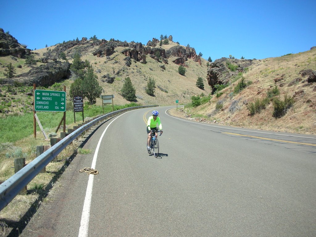
ABB mentioned at route rap that this would be a difficult climb day. At 6:40 am we began the 66 mile up route 26 to Kah-nee-ta, OR through the Cascade Mountains.
I was a bit apprehensive about today's ride. The instruction sheet said "go .8 mi from the hotel, turn right---Get Ready To Climb!" The first climb of the day was the longest climb at 11 miles with an average 5% grade and an elevation gain of 2500 feet. It was a cold morning, in the 40's, but we were dressed warmly in jackets, windbreakers, leg warmers etc., knowing that the descents would be very cold. We climbed slowly and steadily into the low clouds to the top. ABB had set up a SAG stop there in the Mt Hood National Forest. Everything I was wearing was wet from perspiration---it was cold.
At this 13 mile mark the route sheet read: "Now descend 1000 feet in 4 miles, then climb 1000 feet in 3 miles. At the 27 mile marker climb 800 feet in 3 miles. At 30.5 mile marker road gets narrow and desolate--you will descend 1500 feet in the next 10 miles". This was our up-and-down ride through the Cascade Mts of Oregon. It was an unforgettable experience. The old growth forest of hemlock and spruce is majestic, the air is fresh and cool, the adventure and the challenges are PRICELESS.
At several points we looked back in our rear view mirrors and saw the massive Mt Hood dominating the landscape, but getting smaller as we continued our trek East.
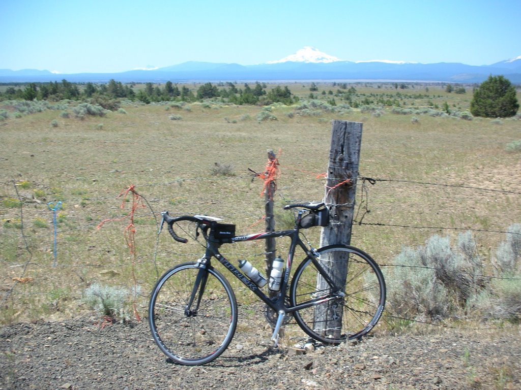
In all the miles of exciting down hill runs that followed the climbs today, the environment changed. The terrain became flatter, the trees were now smaller and more sparse, the grasses had turned brown and the temperature rose. In a matter of 20 miles we had gone from the steep mountain forests to the high desert of Oregon. We could now see clearly off in the distance the range of snow covered mountains which includes "the Presidents": Mt Adams, Mt Jefferson etc. They were visible as we looked across a parched sagebrush landscape at the side of the road. A complete transition of climate and scenery in such a short period of time.
After the SAG at mile 45 we turned onto route 3 and headed to the Indian Reservation near the town of Simnasko where our hotel, the Kah-nee-ta Resort, is located. These last 20 miles of the day provided as much fun as one can have on a bike. The high desert landscape was hilly, dry, sparse, rocky....beautiful. The terrain rolled up and down the box canyon to the resort. We had a 30-40 mph descent for 3 or 4 miles to the base of the canyon.....cut backs, S-turns, through high rock bluffs close to the road at fast speeds. It was a high....terrific!
The resort is spectacular: pools, a golf course, casino, etc with expansive views of the dry hills in the distance. Many bikers took to the pool for a relaxing afternoon.
Another great day on the road.
Bill
# posted by Bill Weidenfeller @ 7:21 PM 
![]()
